STRYDE TECH
2026
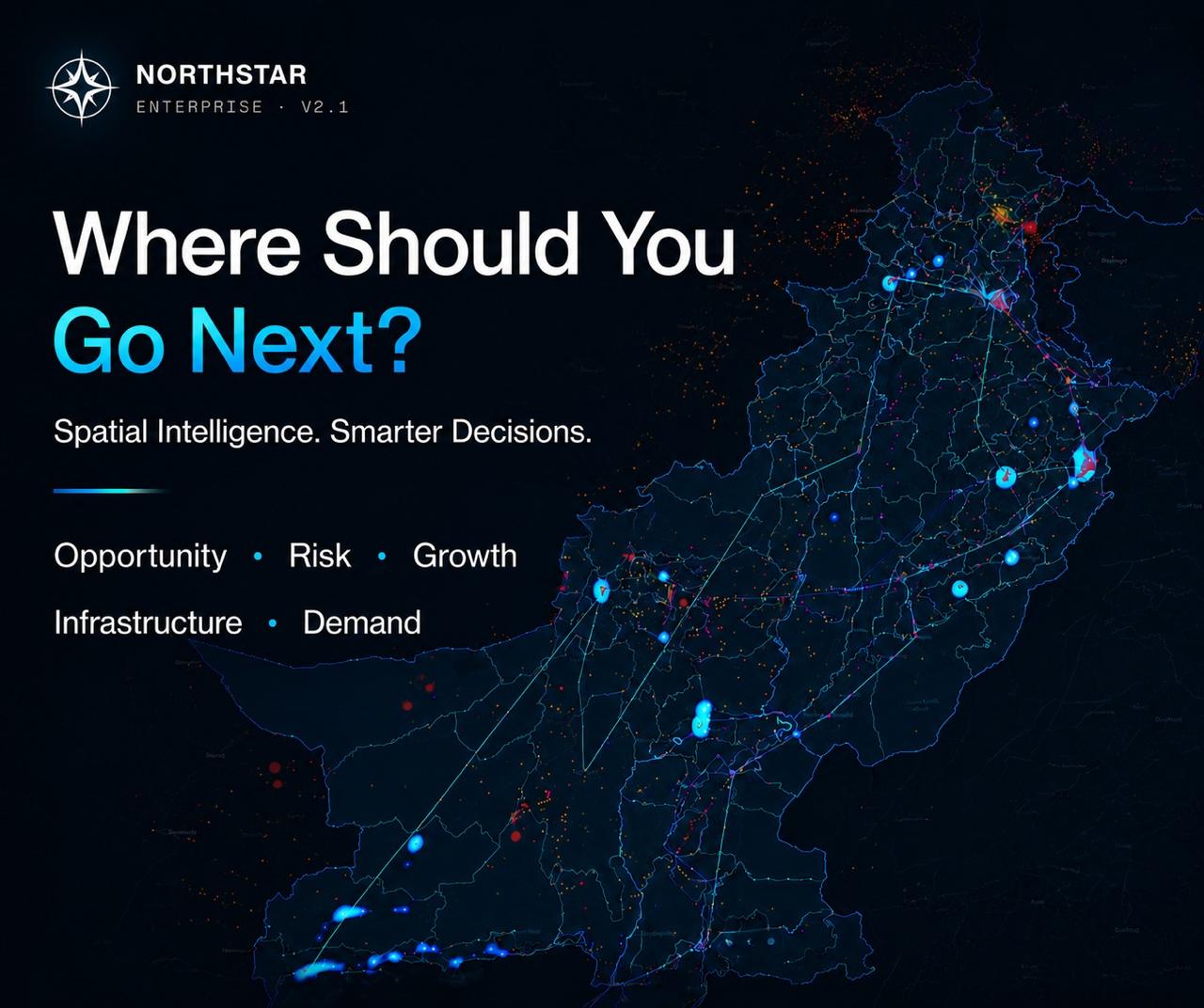
Pakistan's geospatial decision intelligence platform. NorthStar fuses national datasets, GIS, and AI into one living map, so enterprises and government answer the hardest question in any plan (where) with evidence, not instinct. Site selection, expansion, and spatial risk across nine verticals.
National Digital Twin
AI Geo-Spatial Intelligence


The question every plan avoids: where?
Capital, infrastructure, and policy all resolve to a location, yet most organizations still choose that location on instinct. NorthStar turns where into an analyzable, defensible decision by layering national datasets, live client data, and AI reasoning over a single interactive map.
Nine verticals
ONE MAP
From utilities and real estate to retail, telecom, and public infrastructure, NorthStar models site selection, expansion, and spatial risk across nine sectors, each with its own data layers and scoring logic.
Evidence, not instinct
Every recommendation carries provenance (the datasets, districts, and time dimension behind it) so a where can be defended to a board, a regulator, or a partner

Built on The Country Itself
NorthStar runs on a real data spine covering all of Pakistan, upgradeable with a client's own datasets in minutes. It is engineered as the foundation for a national digital twin: a queryable model of the ground you are deciding on.
143 districts. National coverage
LIVE DATA
A hardened, real data spine spanning 143 districts nationwide (provenance badges, a time dimension, and client data upload) so the map reflects the country as it is, not as it was.
From pilot to permanent twin
Highlihhy 3
sub content 1
More Other cases


How We Work?